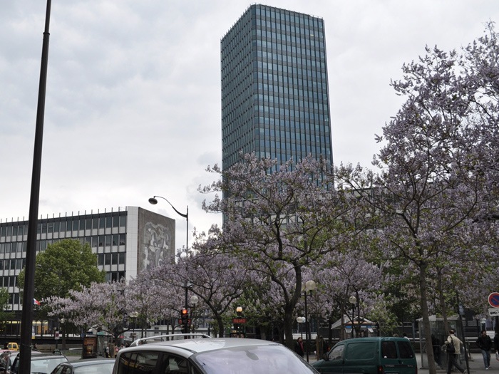
Discover the Saint Victor district - Paris 05
Situated in the 5th arrondissement, the Saint-Victor neighbourhood is the 17th administrative district of Paris.
In order to precisely delimit this 60.4 hectare area, you must first know that it is located between the Sorbonne neighbourhood (to the west), the 4th arrondissement (to the north) and the Jardin des Plantes district (to the east and south).
The boundaries of this district are not very clear. Indeed, it seems that to the west, the border is at Place de la Contrescarpe. Then, you have to go back up via Rue Mouffetard, Rue Descartes, Rue de la Montagne Sainte Geneviève, Rue Monge, Rue Frédéric Sauton and Rue du Haut Pavé. When you arrive at Quai de Montebello, turn right and continue along Quai de la Tournelle and Quai Saint Bernard (although the neighbourhood is more precisely limited by the Seine and includes part of Pont de Sully, Pont de la Tournelle and Pont de l’Archevêché). Finally, to reach Place de la Contrescarpe and finish the loop, you have to go through Rue Cuvier and Rue Lacépède.

Properties for sale / rental in the neighbourhood
Apartment - Paris 5th Add to favorites
 Room(s)5
 Bedroom(s)3
  4th4th
  Park(s)1
  Lift
Lift Apartment - Paris 5th Add to favorites
 Room(s)4
 Bedroom(s)2
  3rd3rd
 Apartment - Paris 5th Add to favorites
 Room(s)2
 Bedroom(s)1
  3rd3rd


