


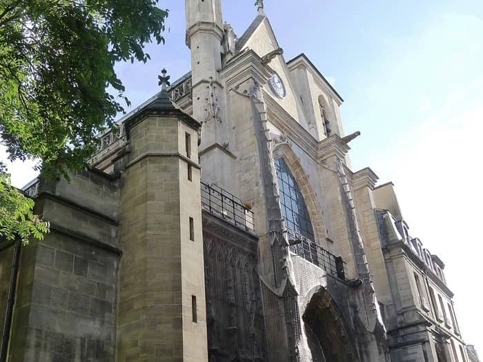
Discover the Saint Merri district - Paris 04
The Saint Merri neighbourhood is the 13th administrative district of Paris. It is one of the 4th arrondissement’s districts.
The Saint Merri neighbourhood covers a total area of 31.3 ha. It is located on the Right bank of the Seine, and is bounded to the north by Rue Rambuteau, besides the Sainte-Avoye neighbourhood. In the eastern part, it is separated from the Saint-Gervais neighbourhood by Rue des Archives and Rue Lobau. To the south, this neighbourhood is separated by part of the Ile de la Cité in the Notre-Dame neighbourhood by the axis of the great arm of the Seine. To the west, the Saint-Merri district adjoins the Halles district of the 1st arrondissement. The area is defined by the eastern road network of Place du Châtelet and Boulevard de Sébastopol.


![]()
![]()
![]()
![]()
![]()
![]()
![]()
![]()
![]()
![]()
![]()
![]()
![]()
![]()
![]()
![]()
Properties for sale / rental in the neighbourhood


Apartment - Paris 4th Add to favorites
 Room(s)3
 Bedroom(s)2
  2nd2nd
Apartment - Paris 4th Add to favorites
Room(s)1 1st1st